The Southwest Collection/Special Collections Library at Texas Tech University recently cataloged an 1835 edition of Stephen F. Austin’s Map of Texas with parts of the adjoining states, which is arguably one of the most historically significant maps of the state. Published on the eve of the Texas Revolution, this map details important sites in Texas and Mexico that would figure prominently in the war that was soon to follow. Empresario grants are outlined with hand colored boundaries, and settlements historians are familiar with today, like Bexar, Goliad, and Harrisburg, are marked on the map.
Southwest Collection/Special Collections Library, Texas Tech University
Although it is difficult to establish the precise provenance of the piece, the map does feature some unusual markings and annotations that are not on other versions of the map. The map’s cartouche features a customized legend that denotes two specific locations. The letter ‘A’ marks the “True Position of Live Oak Point,” and the letter ‘B’ marks “La Reunion.” Live Oak Point, now known to be on the coast near the entrance to modern Copano Bay and near where the cities of Fulton and Rockport stand today, is marked on the map as being located inland between the drainages of Saus Creek (Sous Creek) and the Rio Aransaso (Aransas River). Live Oak Point was the site of an 18th century Spanish garrison at Copano Bay. This marking raises the question of whether the annotator was mistaken in his proclamation or if they knew something different about the true location of Live Oak Point.
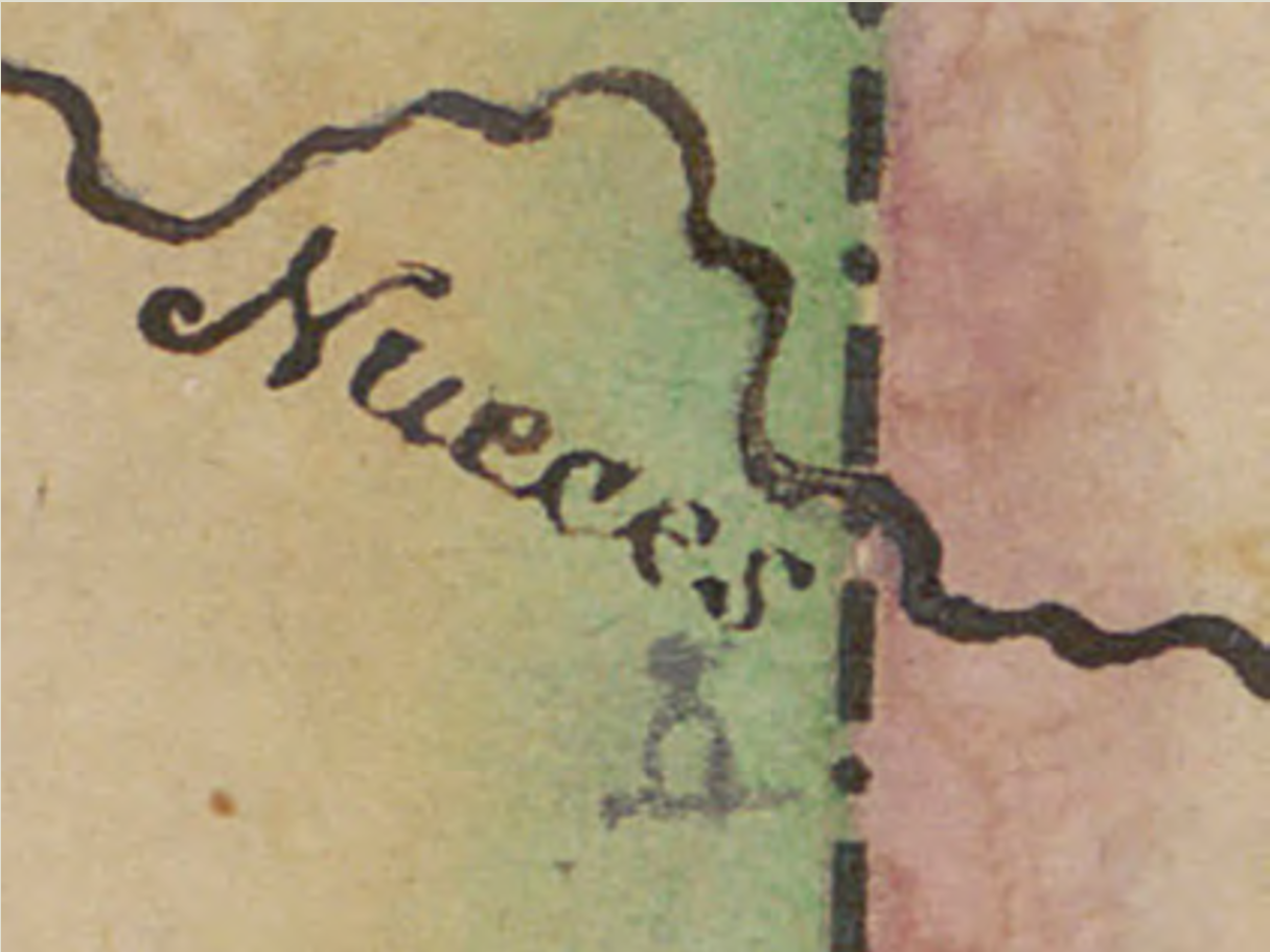
A former owner of the map made significant annotations to the areas along and surrounding the Nueces River and the Rio Bravo (Grande). Missions along the river are marked with crosses atop circular structures (see image 1), and roads are added near where route of the Camino Real existed. There are also edits and additions to portions of the Nueces and Rio Grande themselves, including going as far in two instances to mark sections of both rivers as incorrect and penciling in their own interpretation of the watercourses and their tributaries.
Southwest Collection/Special Collections Library, Texas Tech University
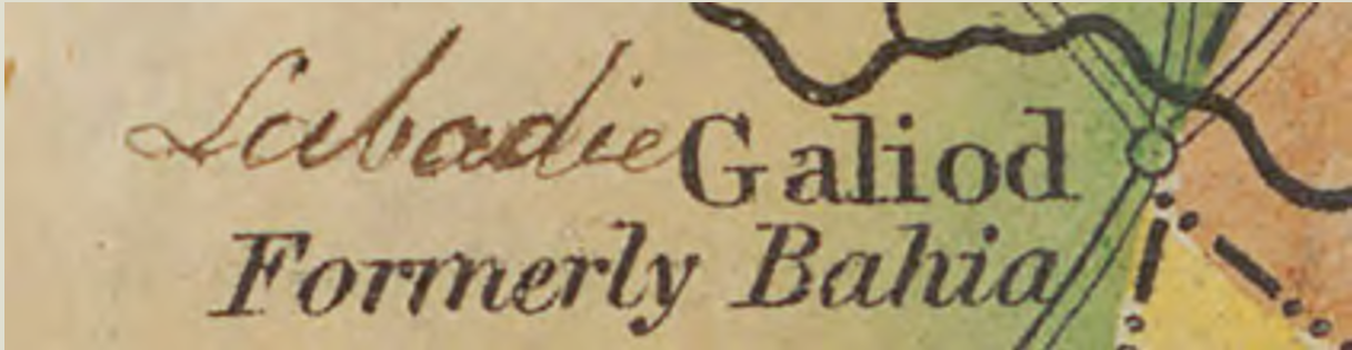
Near where the settlement of Goliad is marked, the annotator wrote “Labadie” on the map (see image 2). This was a linguistic corruption of Goliad’s former name, La Bahia. This marking alone enhances the importance of the map historically, for it incorporates a contemporary aspect of Texas history that likely would not have been added by an owner at a later date. It is possible that a former owner of this map was a professional surveyor, for there are two features on the map that are consistent with surveying marks. Two dots connected with a straight line can often signify efforts to survey the geographic features of points lying between the two points. Two such examples exist on this map. Both examples involve points on the Guadalupe River in relation to opposite points on both the La Baca (Lavaca) River and the Colorado River.
Considered one of the most important early Texas maps, Stephen F. Austin’s 1835 Map of Texas has a history that recounts and illustrates Texas and its geography on the eve of the Texas Revolution. Even more importantly, this copy of the map seems to have a history and significance its own by featuring additions and annotations that enhance one’s understanding of the region during its most notable chapter. The Southwest Collection/Special Collection Library’s copy of this map may be viewed online at the link above.